kapa kulture
This blog is dedicated to Hawaiian kapa and matters related to Hawai'i nei…kuku kapa e!

Archive for the category “Research Project”

Bark Cloth of Aotearoa and Rapa Nui ~ New Zealand and Easter Island
The word “Polynesia” comes from two Greek root words “poly” which means many, and “nesos”, or nesia, which translates as islands. Therefore, Many Islands is the meaning of Polynesia. The island nation of Aotearoa, also called New Zealand, is located in the western region of the South Pacific Ocean. Rapa Nui, also called Easter Island, is located off the coast of Chile, in the eastern South Pacific. Aotearoa and Rapa Nui make up the base of the Polynesian Triangle, which has the Hawaiian Islands at the northern apex. All the islands within the borders of the Polynesian Triangle are considered part of Polynesia.

In Aotearoa, aute is the name given to the paper mulberry tree and the beaten cloth. What evidence do we have to tell the story about aute from Aotearoa? Well, historians and archaeologists have been able to piece together some important facts from the very little material remains of aute by the Maori people. Firstly, aute is mentioned in Maori oral histories. In particular, the kite of the demi-god Maui. It is believed that the paper mulberry tree was brought on the canoes of Polynesian ancestors and was cultivated on aute plantations up until the 1840’s. According to historical documents, Captain Cook was shown a highly valued plantation of aute trees in 1769. The impact of European contact and cattle farming are causes that led to the final extinction of Maori aute plantations. However, evidence indeed proves that aute was used for wrapping religious god images and protecting valuables; as seen in the finished pieces found hidden in ancient dry caves. Furthermore, some worn aute beaters have been recovered in swamps and these are estimated to be several hundred years old. Apart from this evidence, not much of material remnant has been found of the aute of Aotearoa.
There is less information available about the production of bark cloth in Rapa Nui. Even so, several figurines and artifacts that have been found. These are either completely made of tapa cloth or dressed in tapa cloth. Some are said to be god images, they have a fierce expression and are in a seated position with arms bent (Peabody Museum).

Rapa nui figurine-Painted Tapa Cloth -Peabody Museum of Archaeology and Ethnology- Harvard University, Oceania Collection

Rapa Nui Headband-Peabody Museum of Archaeology and Ethnology-Harvard University
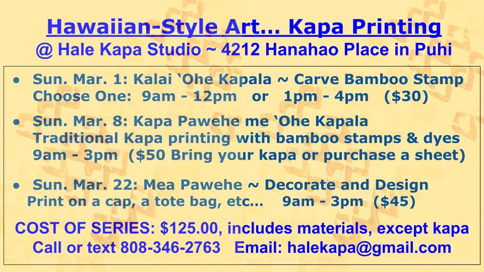
Hau’oli Makahiki Hou! Happy New Year, Happy New Hohoa!

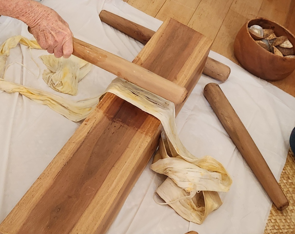
These five hohoa were made in record time! Imua!
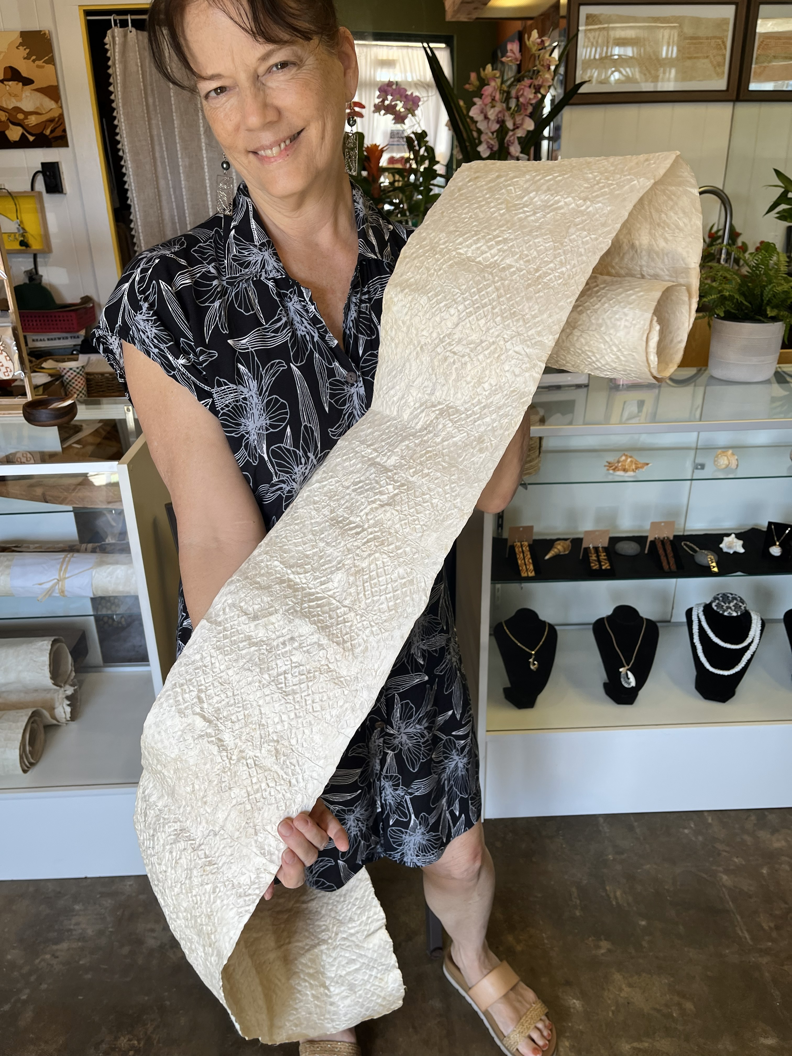
The onset of this new year makes my heart feel glad and appreciative. I am thankful for my ‘ohana (family). They continuously help me with the actual work of making my mea kapa.
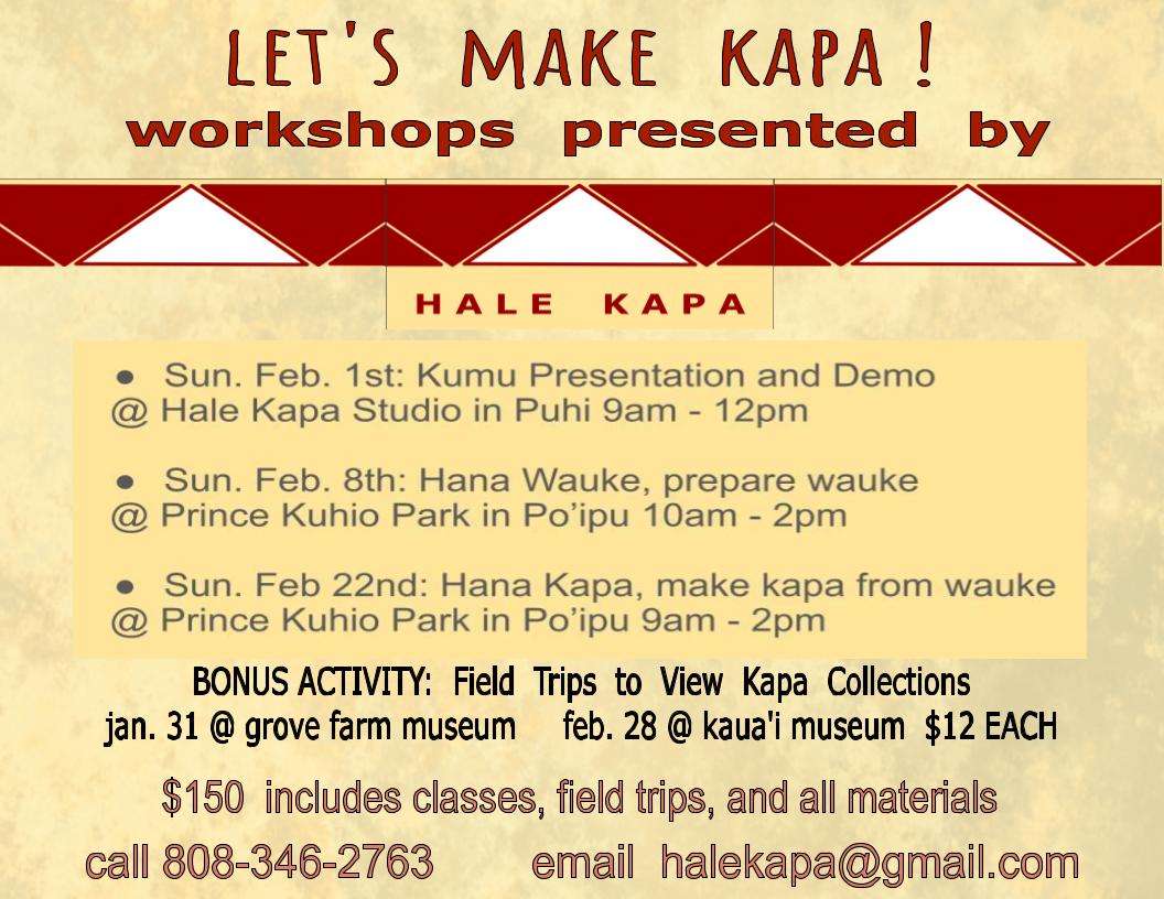
This new year my kuleana (responsibility) will continue to involve haumana (students) in kapa-making. We are building a mala garden that will feature these kapa plants: wauke, noni, kukui, ‘olena, ‘uki’uki, ma’o, and ilie’e….
I was awarded the David Boynton Educational Grant. This is a local grant that was established and named in honor of the late David Boynton. I am so grateful for these funds. We will be purchasing the garden tools and supplies we need for the Kapa Garden Project! Mahalos
The Beauty of Mauna Kea
Ua mau ke ea o ka ʻāina i ka pono, life of the land is preserved in righteousness….
Although Mauna Kea has been under siege, people care. Technology is not a bad thing in and of itself, but the infrastructure needed to accommodate the humongous telescopes is detrimental to the natural and spiritual health of this most beautiful place. If the need for infrastructure increases, then the situation will only become worse. Electromagnetism is another concern and this kind of pollution is only now coming into public knowledge. E ola pono me ke malama pono kākou. i kū mau mau!
http://www.bigislandvideonews.com/2015/10/22/mauna-kea-update-october-22-2015
Kīlauea Volcano’s summit eruption in Halema‘uma‘u Crater turns 7 soon
The following is an excerpt from this week’s edition of the USGS Hawaiian Volcano Observatory‘s Volcano Watch, with tips on viewing the Halema‘uma‘u eruption within Hawai‘i Volcanoes National Park provided by park rangers.
 The lava lake within Halema‘uma‘u Crater at the summit of Kīlauea on February 1, 2014. USGS Photo.
While Kīlauea Volcano’s East Rift Zone eruption at Pu‘u ‘Ō‘ō has been making headlines with the June 27th lava flow and its hazards, Kīlauea’s summit eruption within Halema‘uma‘u Crater has steadily continued in the absence of much press. However, the lack of media attention does not reflect on the eruption’s remarkable nature.
Kīlauea’s ongoing summit eruption began on March 19, 2008, after several months of increasing seismic tremor and gas emissions. A small “throat clearing” explosion opened a new crater (informally called the Overlook crater, because it is located immediately below the former National Park visitor overlook) on…
View original post 884 more words
